
Back to resource library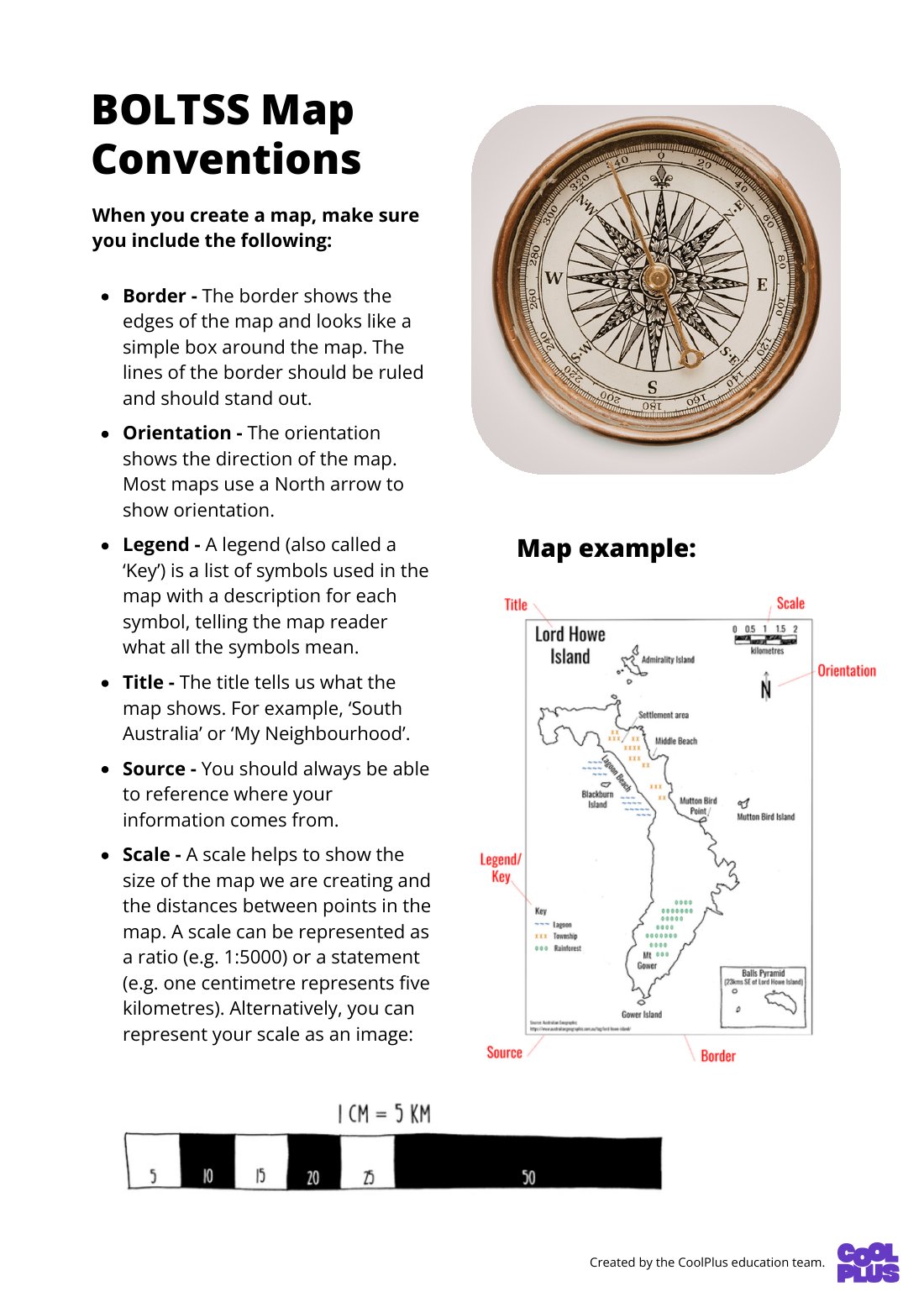
Showing first page only

Designed by
The Team from CoolPlus
Factsheet
BOLTSS Map Conventions Factsheet
Geography 7-10 · Factsheet
Year 7DataInquiry Skills
This Year 7 Geography factsheet demystifies BOLTSS map conventions (Border, Orientation, Legend, Title, Source, Scale). Students will learn to collect, organise, and represent geographical data using cartographic conventions, enhancing their map-making and reading skills for spatial analysis.
Curriculum link
collect, organise and represent data and information from primary research methods, including fieldwork and secondary research materials, using geospatial technologies and digital tools as appropriate (AC9HG7S02)