
Back to resource library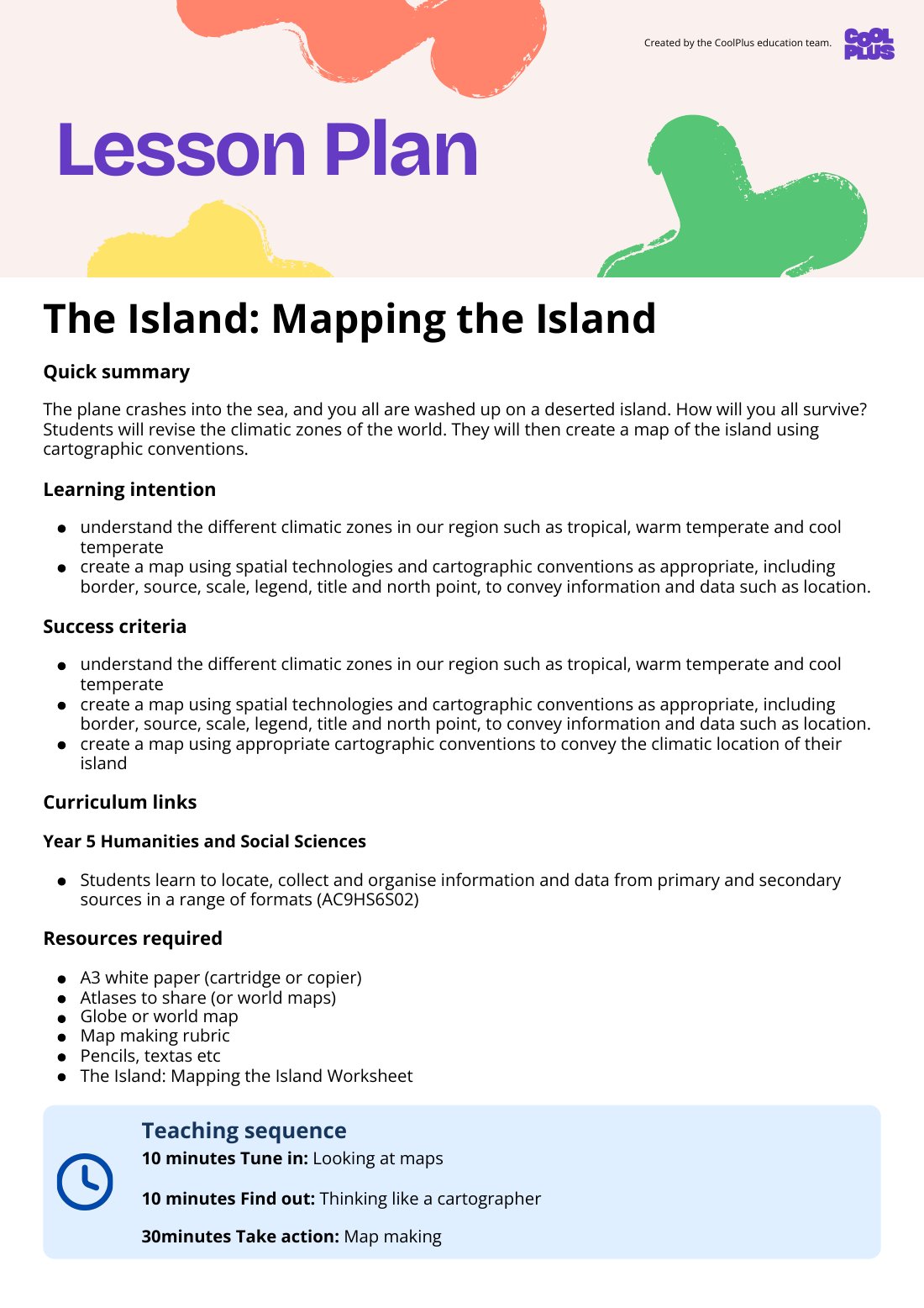
Showing first page only

Designed by
The Team from CoolPlus
Lesson
The Island: Mapping the Island Lesson Plan
HASS F-6 · Lesson Plan
Year 6DataDigital Literacy
This Year 5 Geography lesson plan, "The Island: Mapping the Island," teaches students to locate, collect, and organise information using maps and spatial technologies. Students will create maps applying cartographic conventions like scale, legend, and north point to represent data and connections.
What’s included
Curriculum link
locate, collect and organise information and data from primary and secondary sources in a range of formats (AC9HS6S02)